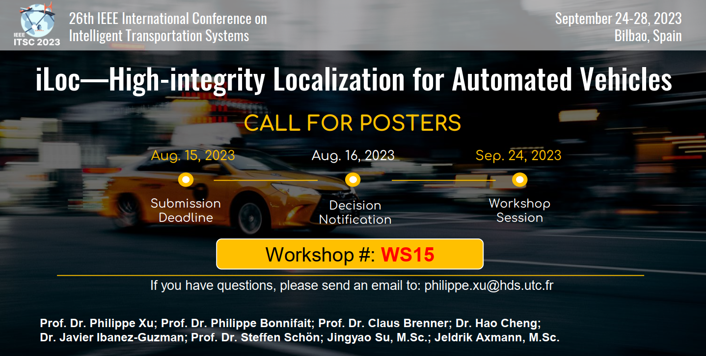
The iLoc workshop -
High-integrity Localization for Automated Vehicles
The 2nd iLoc workshop was held September 24th, 2023 in Bilbao, Spain at the 26th IEEE International Conference on Intelligent Transportation Systems.
 The iLoc workshop is to emphasize the importance of integrity in ITS addressing the scientific challenges with respect to the management of localization integrity for vehicle navigation in complex traffic environments including its use as part of perception tasks.
Research Questions of Interest:
- What are the leading factors for high-integrity localization for AVs, e.g., road geometry, vehicle dimension, sensor accuracy, environmental factors, vehicle motion, and other road users?
- Which multi-sensor architectures and data fusion methods are best suited for autonomous driving?
- How to estimate the uncertainty and integrity risks applicable to model-based and data-driven approaches to localization?
- How can maps be used to increase localization integrity?
- How to combine a vehicle kinematic model and road geometry to improve integrity estimation? Is the sequence of AV’s maneuver tasks of driving from position A to B well defined?
- What are the integrity metrics needs for AVs? That is, in longitudinal, lateral, vertical (e.g., multi-level road interchanges), orientation (pitch, roll, and yaw angles).
- Are there any emergent standards applicable to the estimation of integrity in the Intelligent Transportation field?
- How to verify experimentally the system localization integrity when considering low risks? E.g., down to 10e-5 or below, and under numerous driving conditions?
Topics of Interest:
- Uncertainty propagation and updates while an AV drives in different environments.
- Novel algorithm and requirement definition for integrity, continuity, availability, and accuracy evaluation for intelligent transportation
- Map reference with its own integrity measure, including 2D digital map, high-definition map, 3D map/3D city model, even more precise survey map with both dynamic and static objects.
- Quantification and representation of the models’ aleatoric (or statistical) and epistemic (or systematic) uncertainties for both environmental perception and localization.
- Uncertainty estimation of LiDAR point clouds registration and imagery data processing in e.g., probabilistic and deep learning-based models.
- State-of-the-art deep learning multi-modal data fusion for e.g., GNSS, LiDAR point clouds, images, 3D map localization information with integrity estimation.